Route GPX
The full track from the public start, exported from the BeardedBikerIL Strava route. Load it in Garmin Connect, Wahoo, komoot or Strava.
33.56 kmDownload the GPX ↓ROUTE 012 / MTB / singletrack
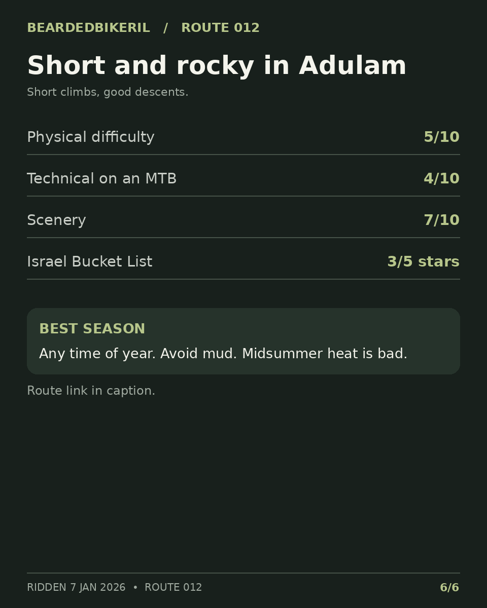
IntermediateShort, rocky singletrack in the hills west of Beit Shemesh.
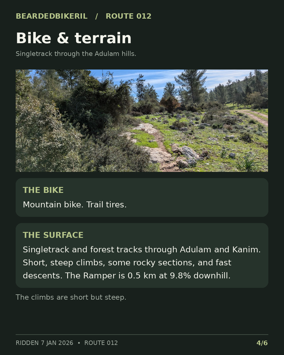
Short, steep climbs, rocky sections and fast descents through Neve Shamir, Adulam, Givat Yeshayahu and Kanim.
Ridden 7 January 2026
TAKE THE ROUTE WITH YOU
The full track from the public start, exported from the BeardedBikerIL Strava route. Load it in Garmin Connect, Wahoo, komoot or Strava.
33.56 kmDownload the GPX ↓Exported from the BeardedBikerIL Strava route. Starts and finishes at the public start point.
THE RIDE
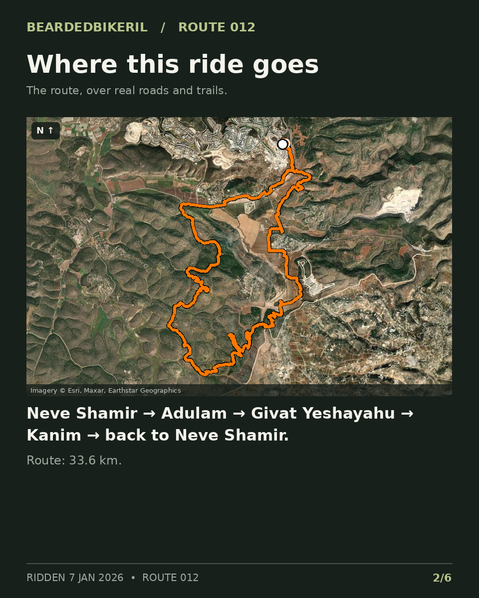
Start on HaShlosha St in Beit Shemesh (Neve Shamir). Park on the street. Neve Shamir, the path along Route 375, Adulam, Givat Yeshayahu, then Kanim and back.
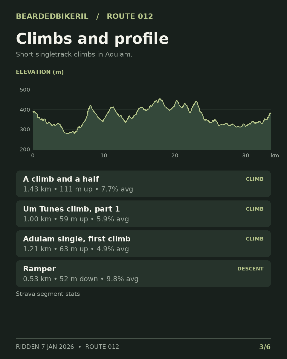
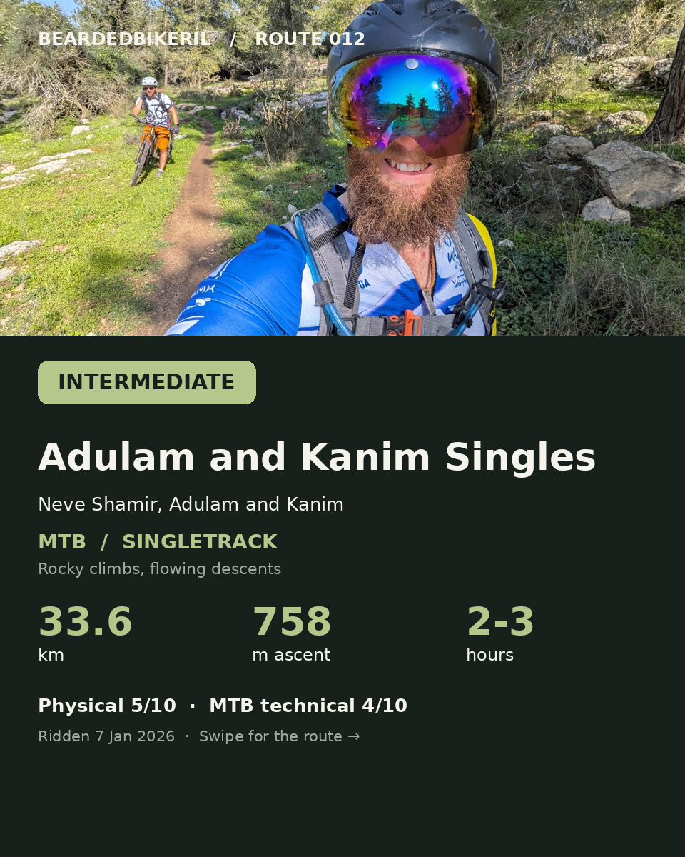
Short, steep climbs (the longest is "a climb and a half", 1.4 km at 7.7%), rocky sections and fast descents. The Ramper is 0.5 km at 9.8% downhill.
PLAN THE DAY
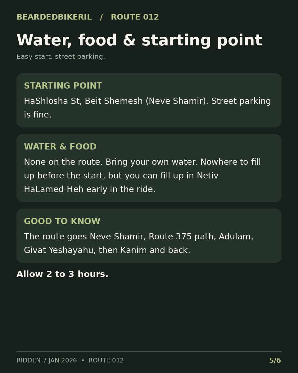
Start on HaShlosha St in Beit Shemesh (Neve Shamir). Park on the street.
Open start pin ↗None on the route. Bring your own water. Nowhere to fill up before the start, but you can fill up in Netiv HaLamed-Heh early in the ride.
Open Netiv HaLamed-Heh water stop ↗Ride any time of year. Avoid mud. Midsummer heat is bad. Allow 2 to 3 hours.
View the route on Strava ↗THE SIX-SLIDE GUIDE
Swipe through the slides. Tap a slide to view it full size.