Route GPX
The full track from the public start, exported from the BeardedBikerIL Strava route. Load it in Garmin Connect, Wahoo, komoot or Strava.
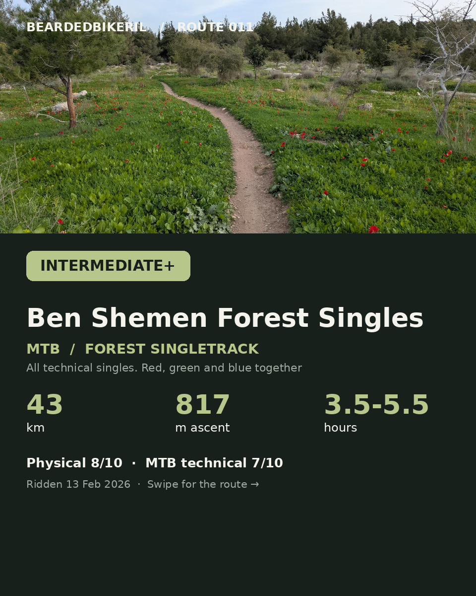
42.97 kmDownload the GPX ↓ROUTE 011 / MTB / singletrack
Intermediate+The red, green and blue singles in one ride.
All technical singles through Nahal Anava, the Horbat Regev climbs and the Ben Shemen forest, in one big ride.
Ridden 13 February 2026
TAKE THE ROUTE WITH YOU
The full track from the public start, exported from the BeardedBikerIL Strava route. Load it in Garmin Connect, Wahoo, komoot or Strava.
42.97 kmDownload the GPX ↓Exported from the BeardedBikerIL Strava route. Starts and finishes at the public start point.
THE RIDE
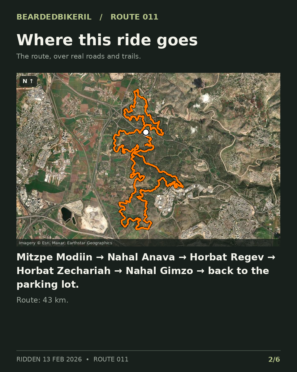
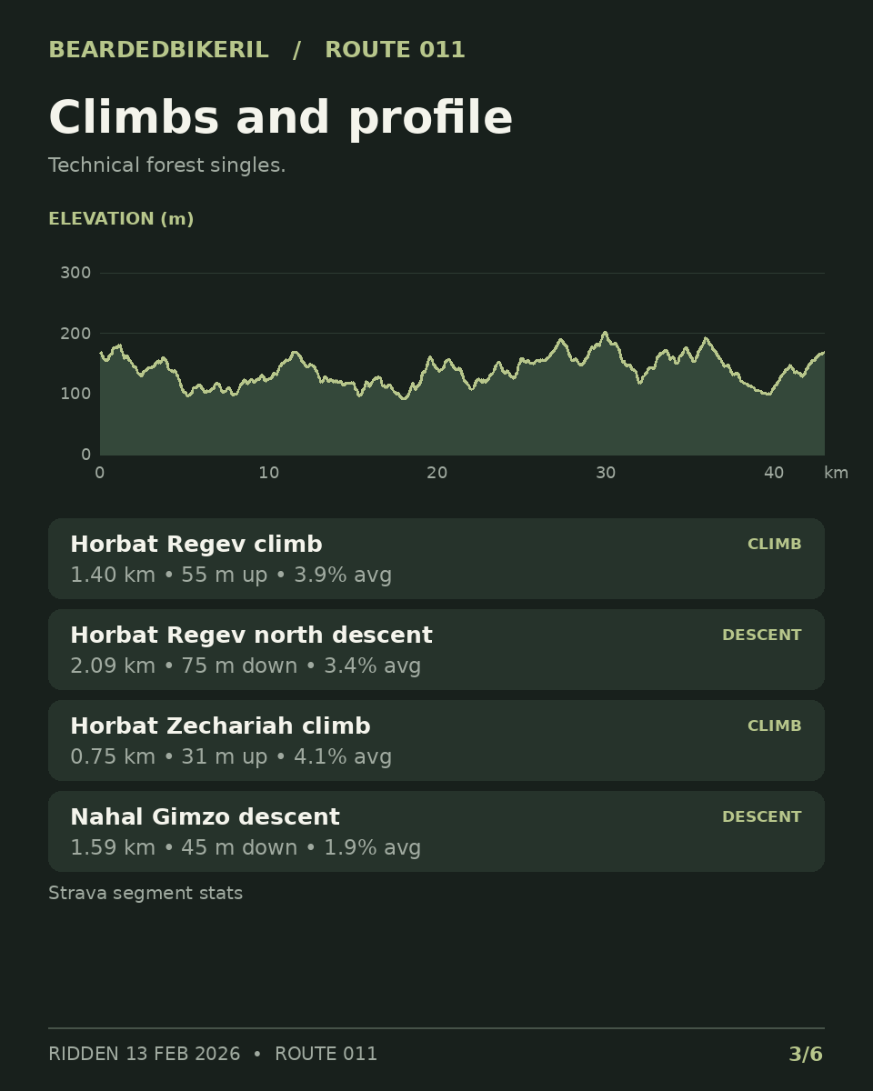
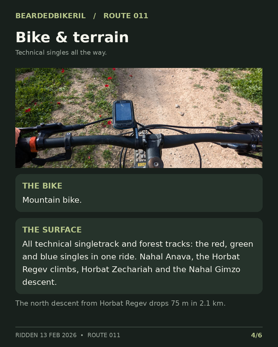
All technical singles through Nahal Anava, the Horbat Regev climbs, Horbat Zechariah and the Nahal Gimzo descent in the Ben Shemen forest, and back to the parking lot.
Best time to see the red anemones (kalanit, כלנית), Israel's national flower: February to March, after a few dry days.
PLAN THE DAY
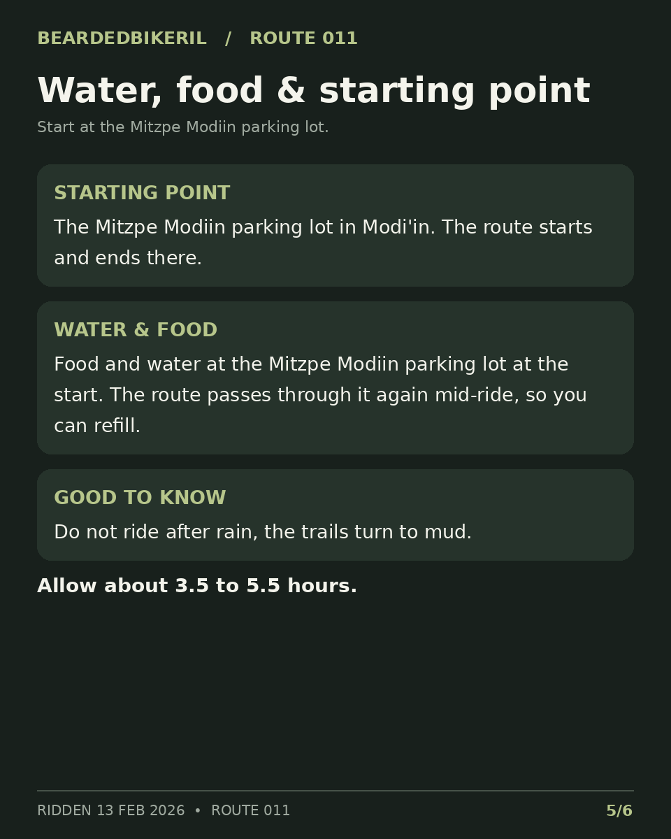
Start at the Mitzpe Modiin parking lot in Modi'in.
Open start pin ↗Water and food at the Mitzpe Modiin parking lot at the start. The route passes through it again mid-ride, so you can refill.
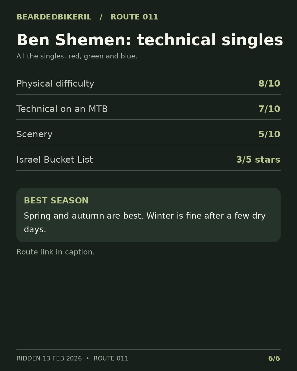
Best in spring and autumn. Winter is fine after a few dry days. Do not ride after rain. Allow about 3.5 to 5.5 hours.
View the route on Strava ↗THE SIX-SLIDE GUIDE
Swipe through the slides. Tap a slide to view it full size.